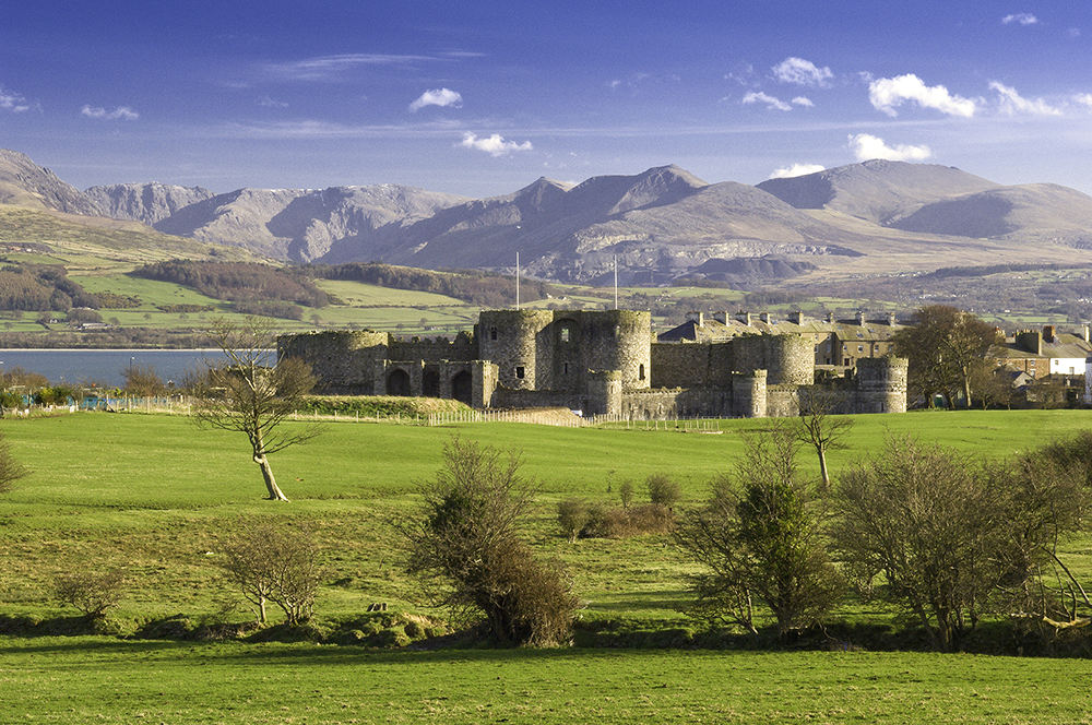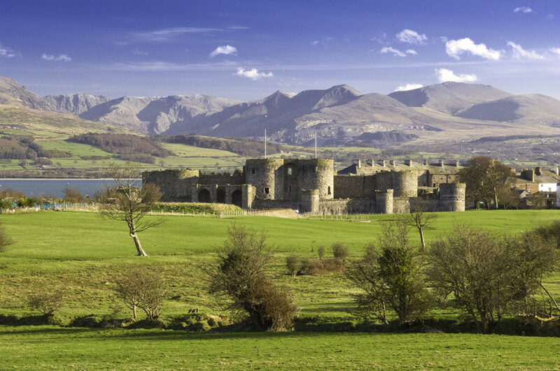
The Isle of Anglesey – or Ynys Môn in the Welsh language – offers some of the best walks on the Wales Coast Path. Anglesey is situated in the North West corner of Wales, the next stop being Ireland, which is easily accessible by ferry or by direct train from Manchester or London. The Anglesey section of the Wales Coast Path is 128 miles long, and provides varied and dramatic landscapes – rugged cliffs, fantastic rock formations, woodland, coastal heaths, secluded coves and long sweeping beaches. Anglesey has over 70 designated sites of archaeological interest, including standing stones and burial chambers, and was once a Druid stronghold. Here are some of the top three walks on Anglesey.
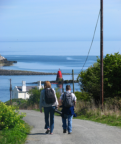
#1 Newborough Beach and Llanddwyn Island: 7.5 miles
The walk starts on the Cob (dyke) off the salt marshes of Malltraeth on the wild south west coast, an estuary renowned for its fascinating birdlife. The cob leads into Newborough Forest, where the Red Squirrel Conservation Scheme started. Nowadays the little red squirrel can be seen in most areas of Anglesey.
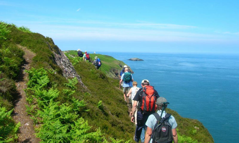
The trail will eventually comes out at the golden, sandy beach of Newborough and Ynys Llanddwyn Island, which is known as the Island of Lovers or Island of Romance. It is dedicated to Santes (Saint) Dwynwen, the Welsh Patron Saint of Lovers, with its curved bay and dunes, clear sparkling waters and spectacular views towards Snowdonia and the Llyn Peninsula. A visit to the island is a spiritual experience with its Celtic Cross, lighthouse and holy well.
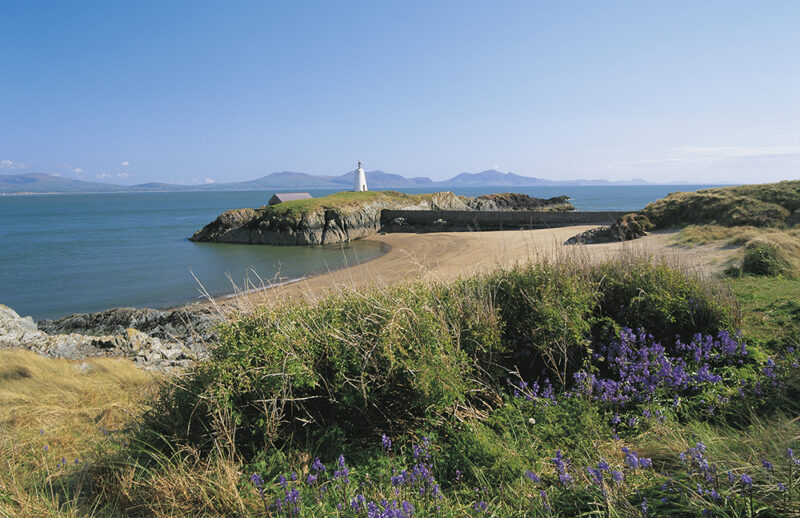
#2 Holy Island and South Stack Lighthouse: 12 miles
This is probably the most attractive part of the Anglesey Coastal Path rising up from Holyhead Mountain on Holy Island, with abundant wild and unspoiled landscapes.
The trail leads to the famous South Stack lighthouse, which is possibly the most spectacular and most photographed location on Anglesey, if not Wales. Four-hundred steps lead down to the lighthouse where you are able to visit the engine room before climbing to the light tower itself.
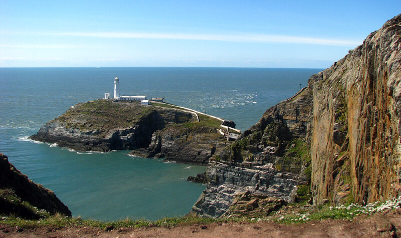
Nearby stands Elin’s tower, now a vantage point for bird-watchers, where you can gaze at the birdlife on nearby cliffs through large telescopes. Puffins, choughs, guillemots, razorbills and peregrines can be spotted from the tower. It’s then downhill all the way across cliff tops and small coves to Porth Dafarch and a welcoming ice cream at Trearddur Bay.
#3 Beaumaris to Penmon Point: 5 miles
The trail starts at the Georgian town of Beaumaris (from the French “Beautiful Marsh”) with its medieval castle dating back to the late 13th century. The castle was built by Edward I to stamp his authority on the Welsh and is now a World Heritage Site.
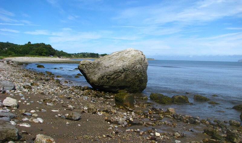
The trail follows the banks of the Menai Straits, with stunning views across to the mountains of Snowdonia and the Great Orme, a huge limestone headland on the north coast of Wales. Pass through Lleiniog, with its motte and bailey castle belonging to the Welsh princes, before continuing to the furthermost point on the southeast coast at Penmon looking over to Puffin Island. The name Penmon comes from the Welsh “pen” meaning “head” or “end” and “Môn” which is the Welsh for Anglesey. Penmon is a site of an historic monastery dating back to the 12th century. The priory and dovecote are still standing today and the priory is a setting in Sharon Penman’s novel about the Welsh kings “Here Be Dragons.”
About the Authors: Eurwyn and Gillian Williams are the owners of Anglesey Walking Holidays and Wales Walking Holidays. Eurwyn has lived on the island since birth and Gillian for over 25 years, and both speak fluent English and Welsh.


